 -- Hanoi Airport just north of the city. Many MIGs parked all along field
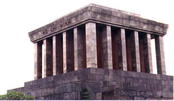 -- Ho Chi Minh memorial and mausoleum (w/ HCM himself)
 -- Presidential Palace directly adjacent to Ho Chi Minh memorial
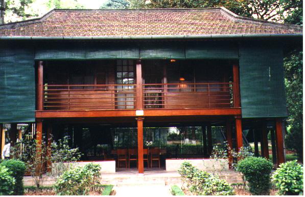 -- home built for Ho Chi Minh behind the official Presidential Palace --- which he would not live in. Wanted a home to more properly represent his stature as a "man of the people". This cottage sits next to a fishpond stocked with coy.
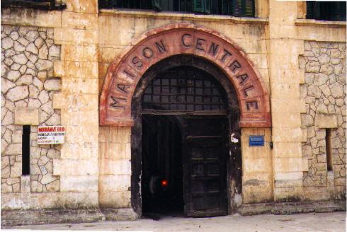 -- main entrance to Ha Loi prison --- better known as "Hanoi Hilton" in middle of downtown Hanoi directly across street from courthouse. Visitors not permitted inside
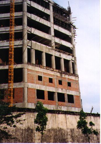 -- building going up inside walls of Hanoi Hilton Prison
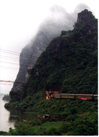 -- travel on the daily Reunification Train from Hanoi south to Ho Chi Minh City. Trip takes 16 hours to Hue and 40 hours to HCMC. Here passing through rocky terrain north of DMZ
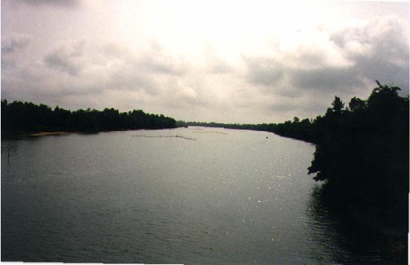 -- train trestle across famous Ben Hai River within the old DMZ
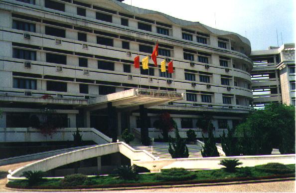 -- Century Hotel in downtown Hue on the southern bank of Perfume River
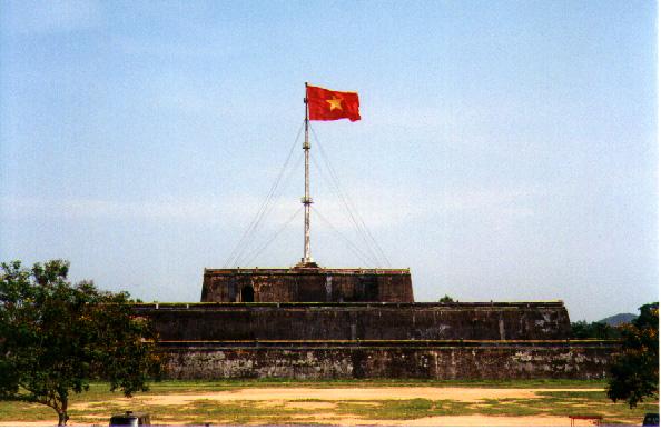
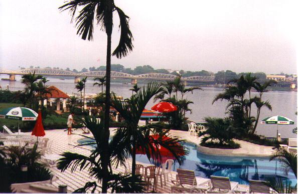 -- pool area of Century Hotel, overlooking Perfume River and the Cau Nguyen Hoang Bridge across to the Citadel. Red flag on top of Citadel wall can just be seen slightly to left of palm tree
 -- Pagoda of Seven Sisters in Hue along bank of Perfume River
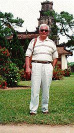 -- me at base of Pagoda of Seven Sisters
 -- front wall of the Citadel
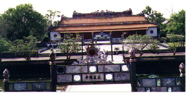 -- inside of the Citadel, looking down on temple from front wall. The footbridge in center was used only by Emperor and family. Others used bridges to left and right
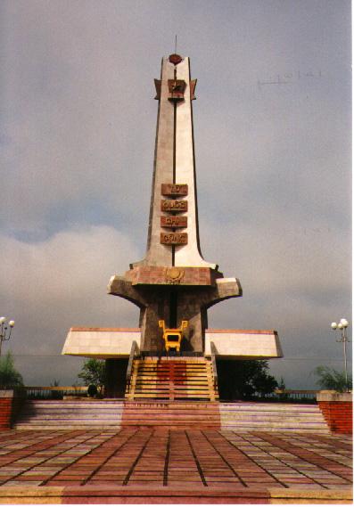 -- "Martyr Monument" along Route 1 just south of Quang Tri. Monuments like these, normally surrounded by hundreds of gravestones, pay homage to the Vietnamese lost in the war --- and are all over the country
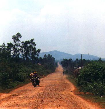
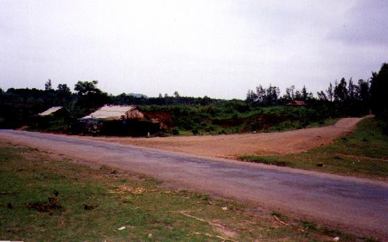
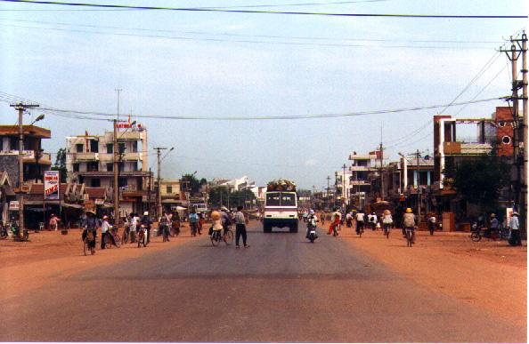 -- Route 1 going North into Dong Ha --- which is now the provincial capital
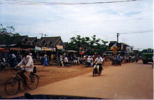
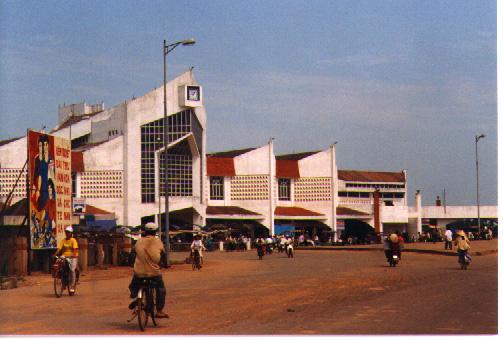 -- marketplace at junction of Route 1 and Route 9. Dong Ha Bridge is immediately to the right
 -- famous Dong Ha Bridge crossing Song Bo Dieu on Route 1
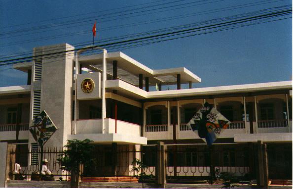 -- police headquarters building in Cam Lo along Route 9 heading west
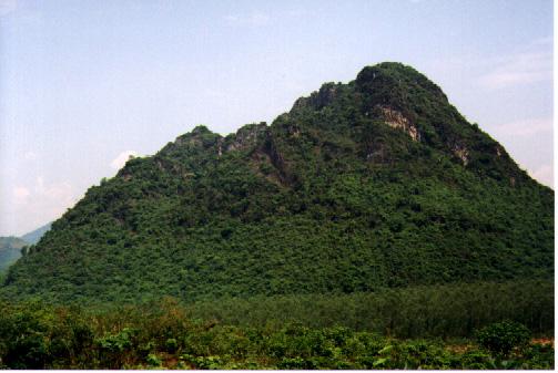 -- the Rockpile!
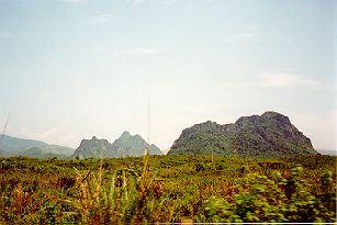 -- Rockpile in the foreground
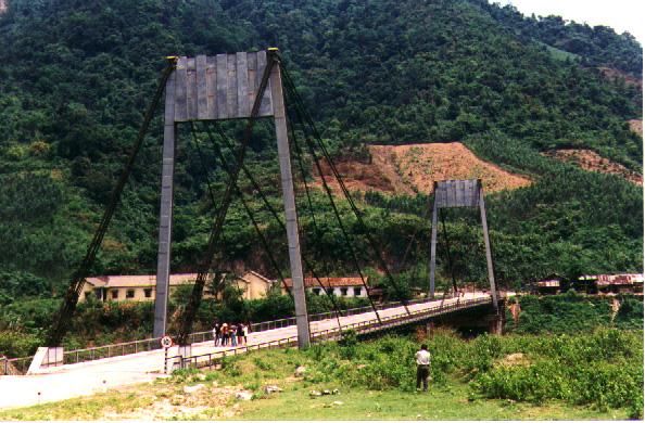 -- Dakrong Bridge across Cam Lo River west along Route 9. This photo is from southern end of bridge looking back across to intersection with Route 9
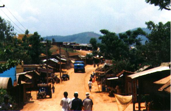 -- Khe Sanh Village
 -- road up to Khe Sanh Combat Base
 -- Victory monument at Khe Sanh Combat Base marking "NVA triumph" at this site
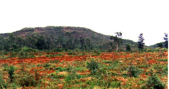
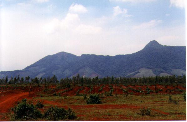 -- looking across plain of KSCB toward Hills 1015 and 950. Place is now overgrown with pepper plants and trees at far edge
 -- another shot of the plain at KSCB. This one is looking from the Victory Monument at the center toward a southeastern direction and the end of what was the runway. Two men coming toward us were trying to sell insignias and other scrap metal dug from the red clay
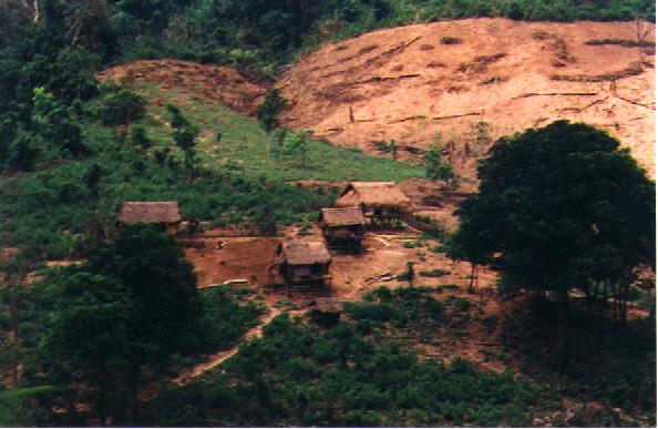 -- Bru settlement along Route 9 just southeast of Khe Sanh
 -- road up to Camp Carroll off Route 9
 -- hilltop of Camp Carroll. Flat area in foreground was Regimental CP of 3rd Marines. Virtually unrecognizable.
 -- Quang Tri Village
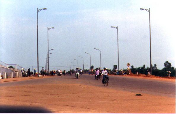
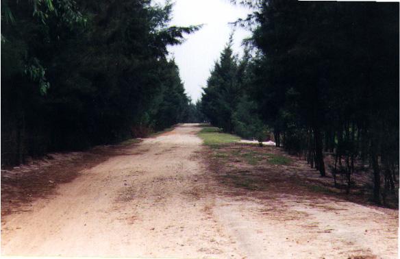 -- road up to Cua Viet from Quang Tri. Countryside transitions from typical red clay to sand and pine trees as you get closer to Cua Viet and beach area
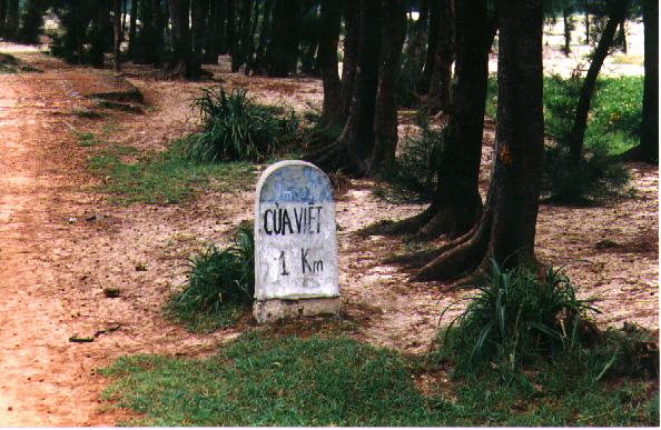 -- roadmarker indicating 1 kilometer to Cua Viet
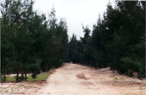 -- another shot of road into Cua Viet
 -- end of the road! Picture of footbridge into Cua Viet near Ha Tay. At this point, you are approximately 50 yards from Cua Viet River and beach
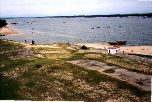
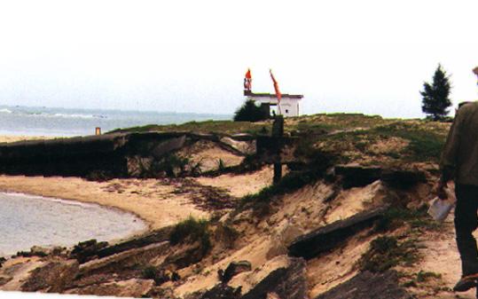 -- site of what was the Navy ramp on Cua Viet River. Small building in middle of picture is a lookout station manned by police guarding mouth of Cua Viet River
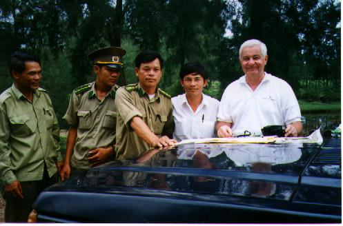 -- myself with Cua Viet Chief of Police, Nguyen Ngoc Ngung, in the center; two of his staff and Dinh Mien, my guide
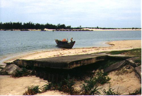 -- concrete slab of what's left from old Navy ramp in the foreground. Small cement structure barely visible across on north bank of river is beginning of a ship loading ramp to be used to unload cargo for further transport down river to Dong Ha
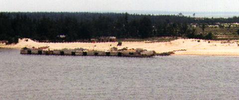 -- larger picture of cargo pier on north bank of Cua Viet
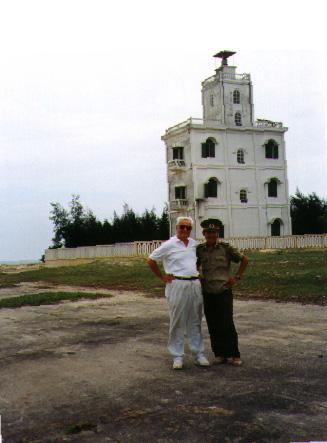 -- myself and local police officer in front of four story lighthouse on banks of Cua Viet just about where 1st Amtrac Messhall was in 1968
 -- looking downriver from top of lighthouse toward My Loc on far side
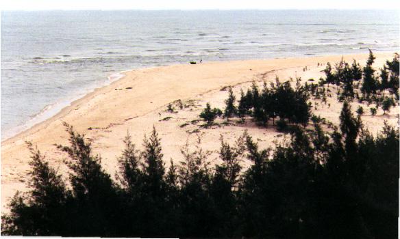
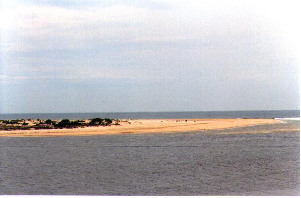 -- sandy point on north bank of Cua Viet River as it meets the Gulf
 -- sandy point on southern bank of Cua Viet at what was once Camp Kistler
 -- another shot looking down from lighthouse on the remnants of Navy ramp. Vietnamese lookout station is in center
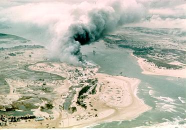 -- aerial shot of same area at mouth of Cua Viet --taken in 1968
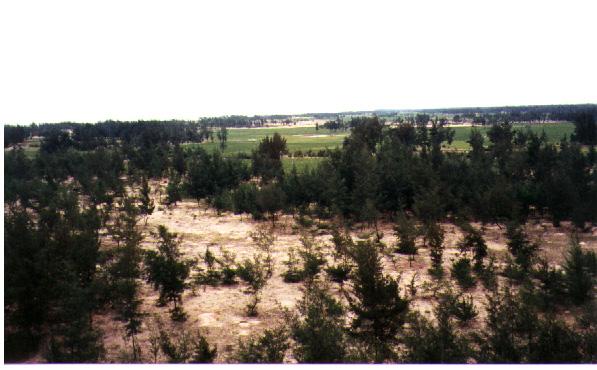 -- looking down on area in foreground that once was the home of A Company, 1st Amtracs. Nothing remains but the sand
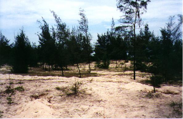 -- looking inland from beach to sand dunes and trees that had been the Battalion CP
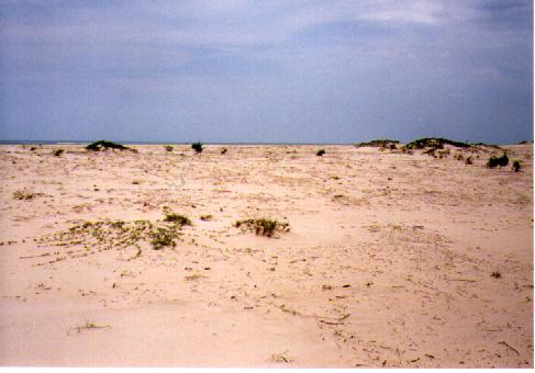 -- stretch of beach on Gulf just south of the point. This area was site of marsten matting helipad for Camp Kistler
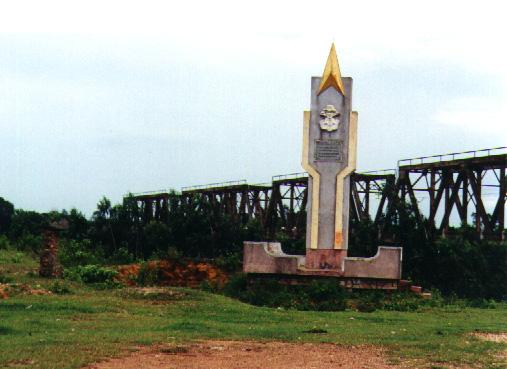 -- Martyr Monument at base of railroad and Route 1 trestle into Quang Tri
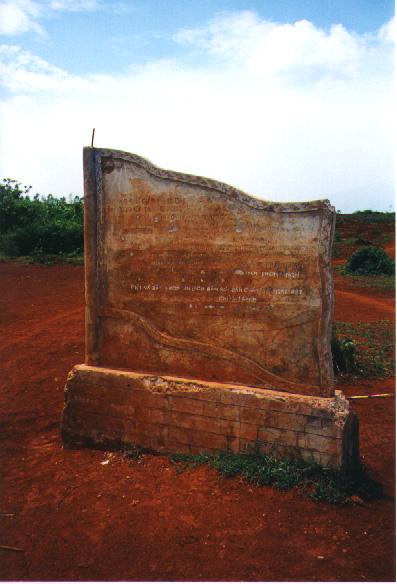
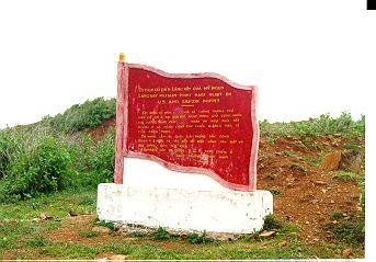 Victory monument at the site of the Special Forces camp at Lang Vei
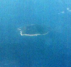 -- very fuzzy shot, taken from 30,000 feet of small island north of mouth of Cua Viet